TypeArable
IP22 55.39 Acres, Hollow Lane, Barningham, Diss
TenureFor sale
Specification
- Land size
- Land size55.39acres
- Property type
- Property typeArable
- Tenure
- TenureFor sale
Description
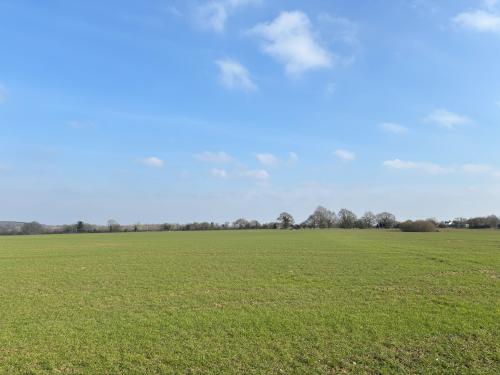
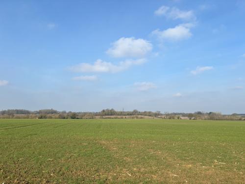
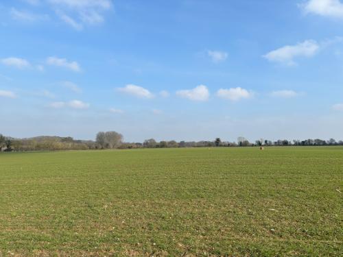
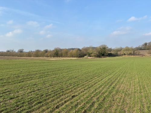
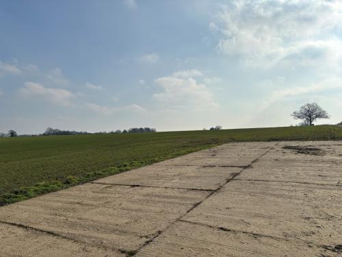
The Property extends to approx. 22.42 hectares (55.39 acres) comprising a single field of productive arable land including a concrete pad situated on the northwest edge which extends to approx. 470m2. The land is accessed directly off Hollow Lane.
The Land is shown as Grades 2&3 on the Provisional Ministry of Agricultural Classification Map for the Eastern Region. The soils are classified by the Soil Survey for England and Wales as being Beccles 1. This is described as slowly permeable seasonally waterlogged fine loamy over clayey soils, associated with similar clayey soils.
The past cropping is as follows:
Harvest Year Crop
2019 Sugar Beet
2020 Winter Wheat
2021 Winter Oats
2022 Winter Wheat
2023 Sugar Beet
2024 Maize
Location
The property lies Northeast of the village of Barningham, situated between Hopton Road and Hollow Lane, 8 miles from Thetford and 12.1 miles from the cathedral town of Bury St. Edmunds.