TypePasture Land
RG8 Blandys Lane, Upper Basildon, Reading
TenureFor sale
Specification
- Land size
- Land size2.63ha
- Property type
- Property typePasture Land
- Tenure
- TenureFor sale
Description
Grazing land of 2.63 hectares (6.50 acres) available as a whole or two Lots for sale in Upper Basildon, Reading
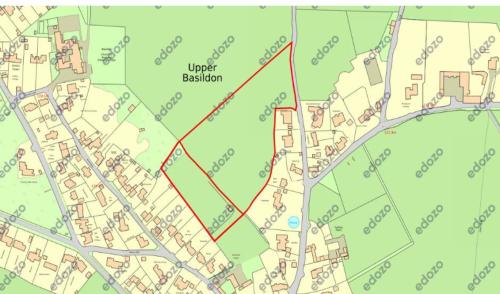
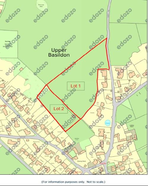
The Ordnance Survey extract plan attached in the particulars of sale shows the approximate boundaries of the property and the position of its two Lots edged red.
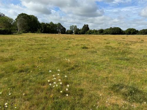
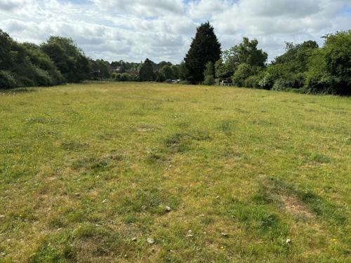
The property comprises an irregular shaped parcel of grassed grazing land of approximately 2.63 hectares (6.50 acres) which slopes gently upwards from south-east to north-west.
The property is contained by post and wire fencing and hedges and is bordered by Blandy's Lane at its eastern boundary, grazing land at its northern boundary and private detached dwellings along its southern and western boundaries.
The property's only vehicular and pedestrian access is from Blandys Lane via a metal farm gate at its eastern boundary.
The property is not currently connected to a water supply.
The property's Lot 1 is approximately 1.96 hectares (4.84 acres).
The property's Lot 2 is approximately 0.67 hectares (1.66 acres).
Access to Lot 2 can only be achieved via Lot 1.
We refer you to the photographs in the particulars of sale for further information.
Location
The property lies on the west side of Blandy's Lane approximately 100 metres to the north of its junction with Mead Lane in a semi-rural on the outskirts of the village of Upper Basildon, West Berkshire.
Pangbourne village centre and Pangbourne railway station lie approximately 3 miles to the east of the property whilst the major town of Reading lies approximately 5 miles further to the east.
Junction 12 of the M4 motorway lies approximately 6.5 miles to the south-east.
We refer you to the plan in the particulars of sale for further information.