TypeArable · Pasture Land
NR8 Ringland Lane, Costessey, Norwich
TenureFor sale
Specification
- Land size
- Land size15.70acres
- Property type
- Property typeArable · Pasture Land
- Tenure
- TenureFor sale
Description
Predominantly arable land in a single parcel
Development potential subject to planning permission
Land at Costessey Village, Norwich, Norfolk
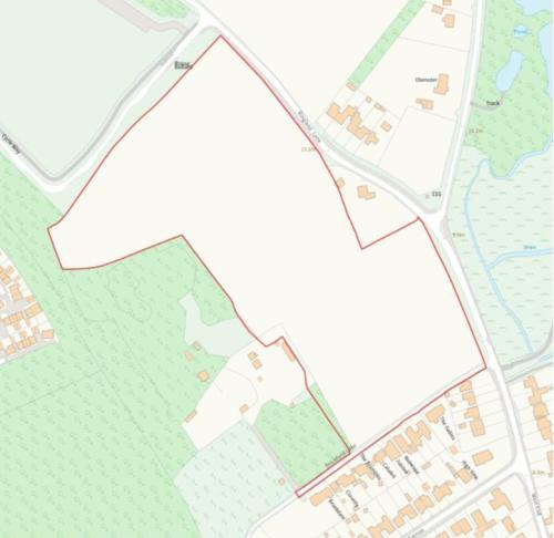
Extending to 6.35 hectares (15.70 acres) in total
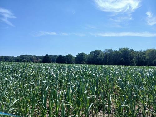
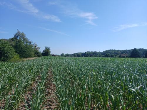
The land at Costessey extends to 6.35 hectares (15.70 acres) of primarily arable land but including part of Brickfield Loke to the south. The
attractive parcel is bordered by trees and hedges, and the land benefits from good road frontage to the east via Ringland Lane.
The land is classified as Grade 3 on the Provisional Agricultural Land Classification Sheet and identified as being being part of the Adventurers'
2 series being described generally as freely draining slightly acidic sandy soils.
The land has formerly been let on a seasonal cropping licence.
The and setting of the land present opportunities for other uses subject to planning permission.
.
Location
If an applicant is interested in the purchase of any part of the property, they are invited to discuss this with the selling agent.
The land is located off Ringland Lane to the north-east of Costessey, between the Queen's Hills estate and Costessey village.
Costessey is located 4 miles northwest of cathedral city of Norwich, and offers a range of local amenities, including schools, health care
services, parks, and a wide range of shops including the Longwater Retail Park.
The what3words reference for the land is ///offstage.bliss.ideals